


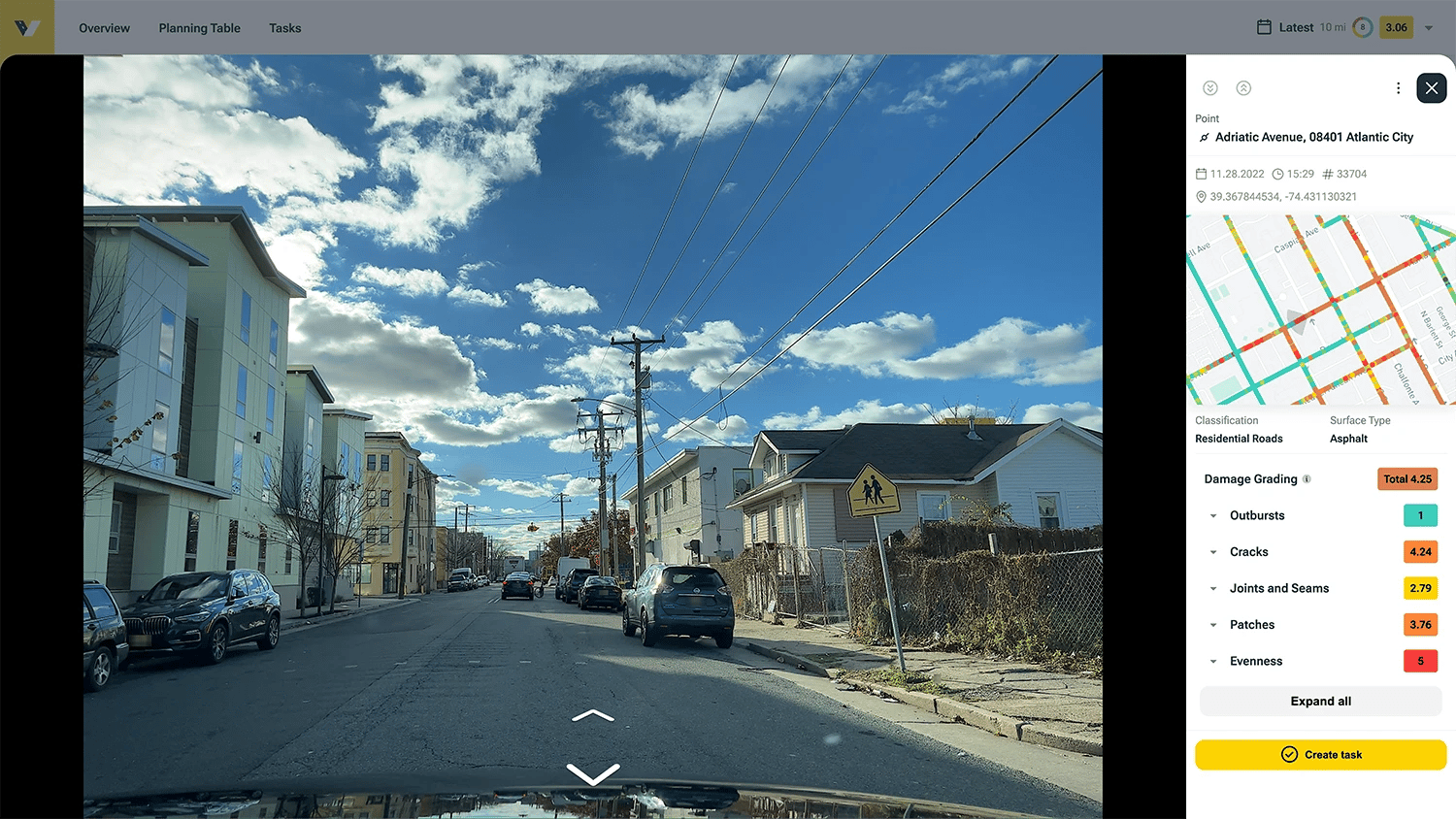
Capture Everything: Fast. Secure. Complete.
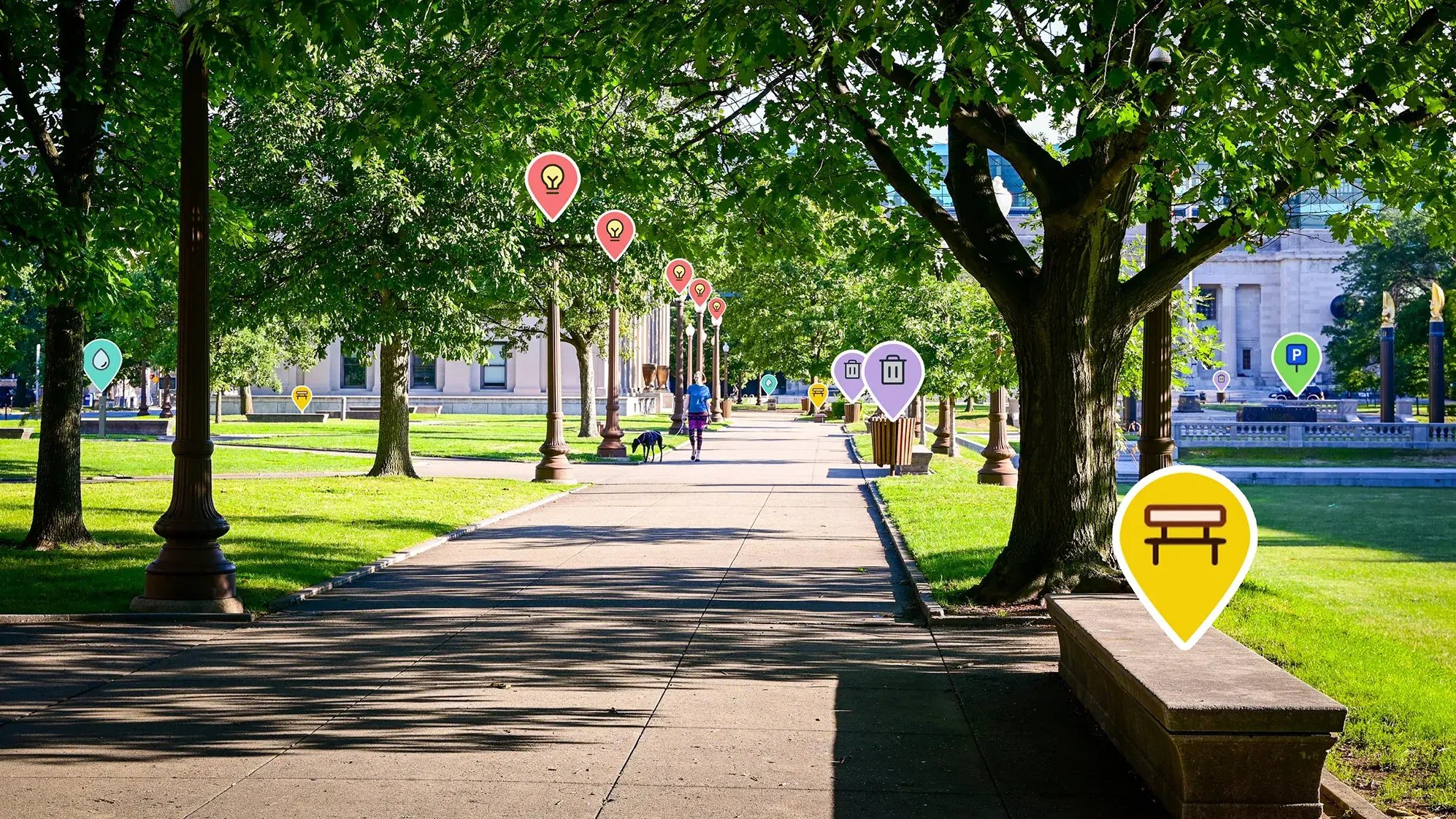
Go way beyond potholes. vialytics captures your entire infrastructure in one sweep—from traffic signs to playgrounds. No blind spots.
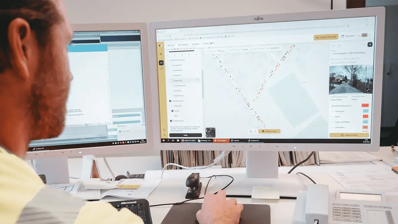
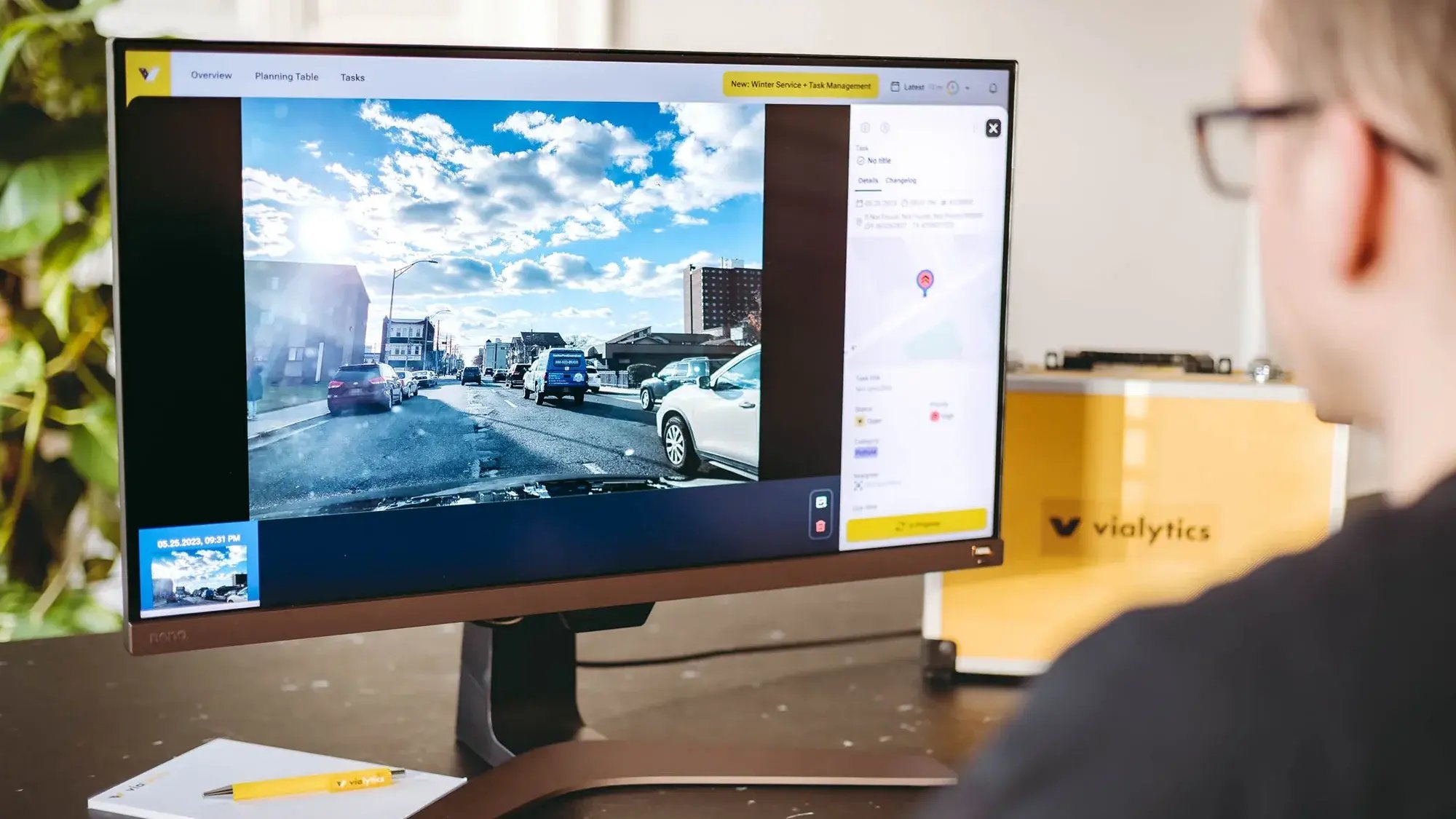
Save hours on every work order. Back up your actions with seamless, defensible data that lives in one central hub—ready exactly when you need it.


Packages & Pricing
Find the Right Package for Your Team
The Use-Cases
Many Possibilities for Your Municipality