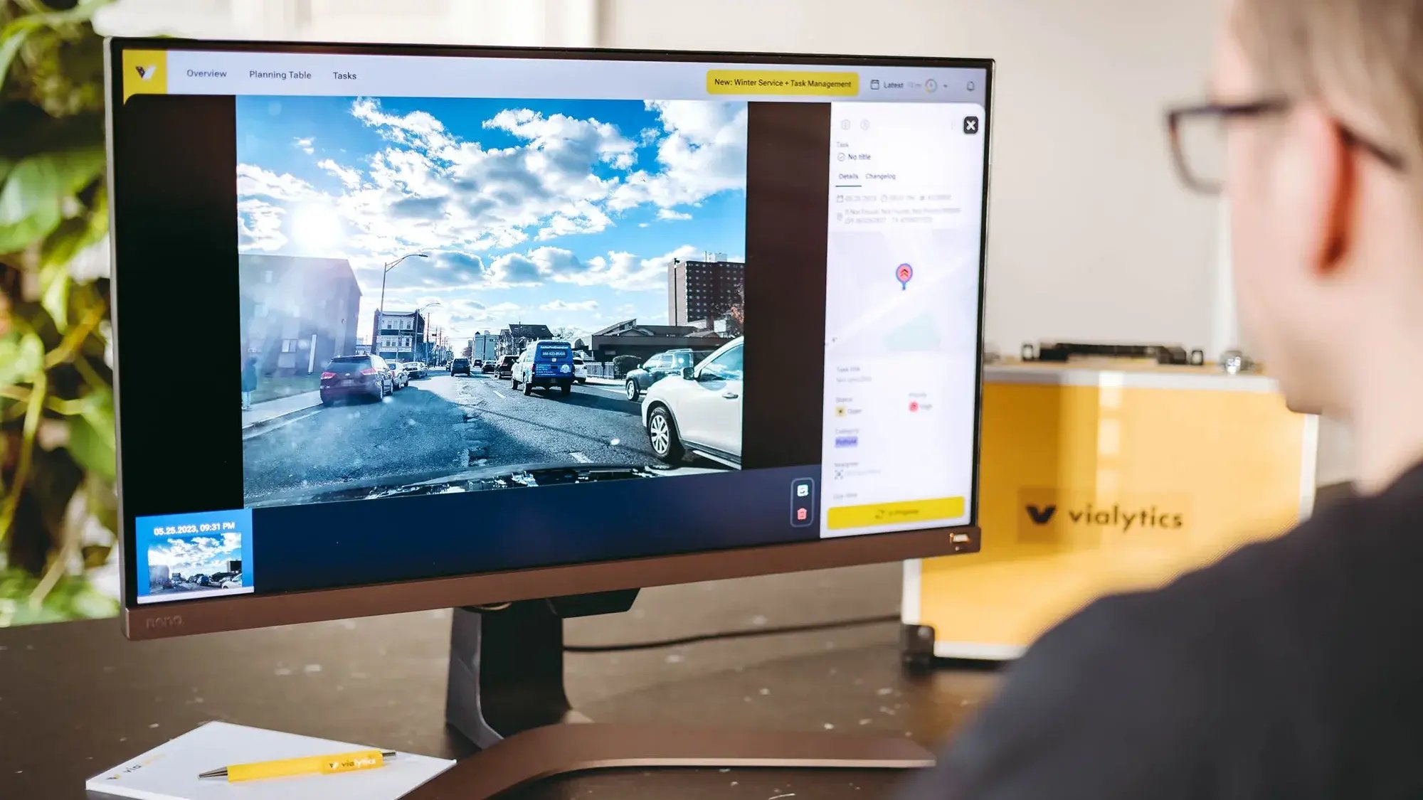
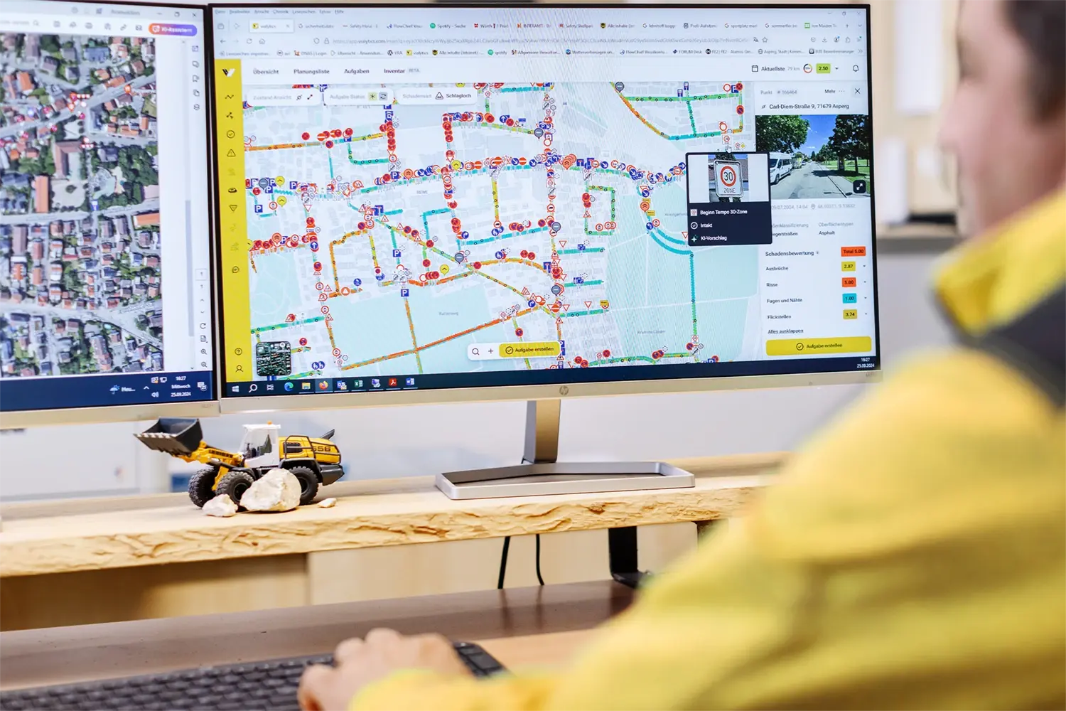
Road Management rethought
The vialytics system simplifies everyday life in public administration. Quickly improve roads and cycle paths in your city.
How vialytics helps your routine
Automatic condition assessment
Our brilliant AI detects 15 different damage classes objectively on asphalt surfaces.
Digital track control in your pocket
Ditch pen and paper! You can check your roads way faster with our simple smartphone app.
Comprehensive road management
All recorded data shows up in the vialytics web system. Directly plan measures for better roads.
The vialytics Modules
Capture data in just 3 steps
1. Install
2. Start driving
The vialytics system takes a photo of the asphalt surface every 4 metres including GPS track and time stamp. You determine yourself when the data recording starts and ends. Record the road conditions in a targeted manner or let the system work in parallel to your operational tasks. You can also use the Bluetooth button on the steering wheel to set markers while driving.
3. Automatically evaluate
The vialytics algorithm analyses the image data of the route recording for damage to the road surface - objectively, quickly and in 15 damage categories. All licence plates and faces are pixelated in compliance with DSGVO.
Control and planning in the vialytics web system
Our milestones
municipalities trust in our road management system.
kilometres of road network are covered by our artificial intelligence.
markings were set with the vialytics system.
Further use cases
Discover countless ways how the vialytics system helps you and your municipality.