Why Accurate Road Inspections Matter
Route Checks On the Go
Perform route checks on your time, your way.
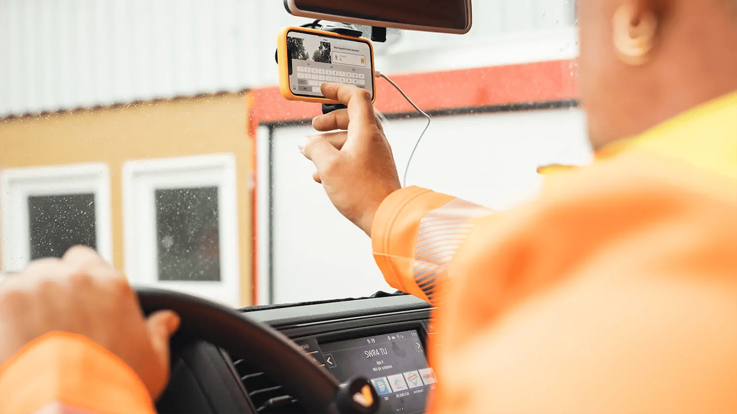
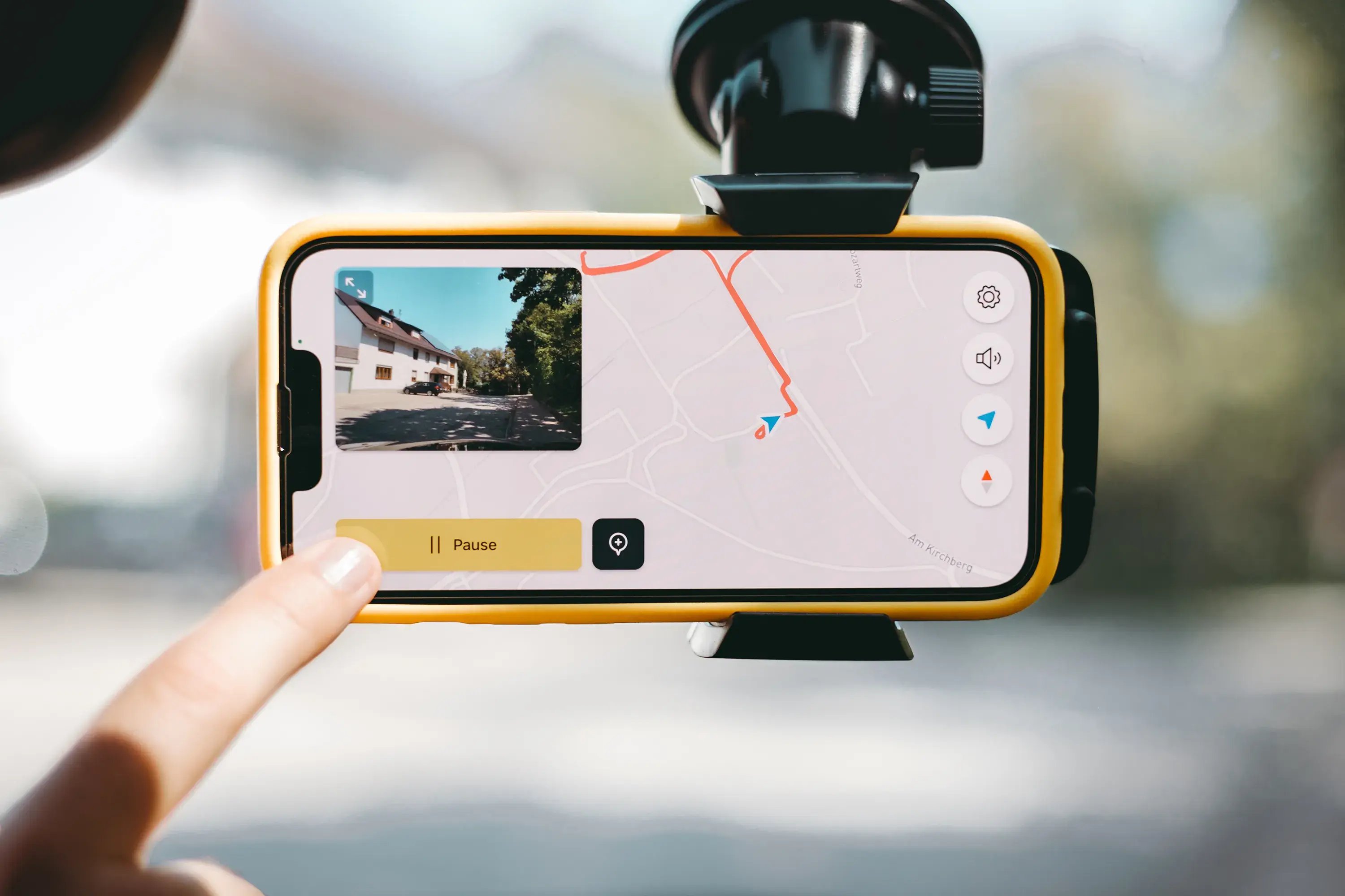
By car
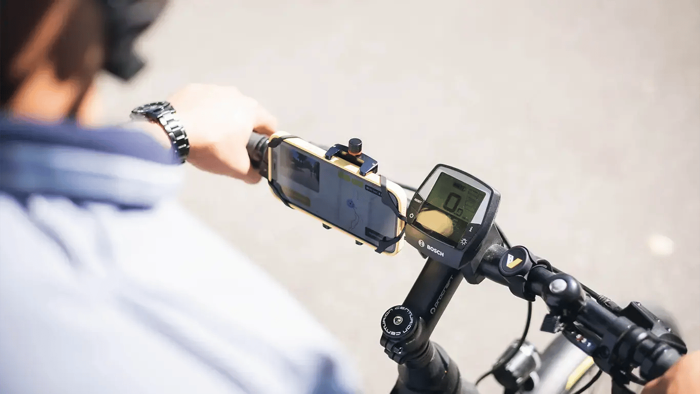
By bike
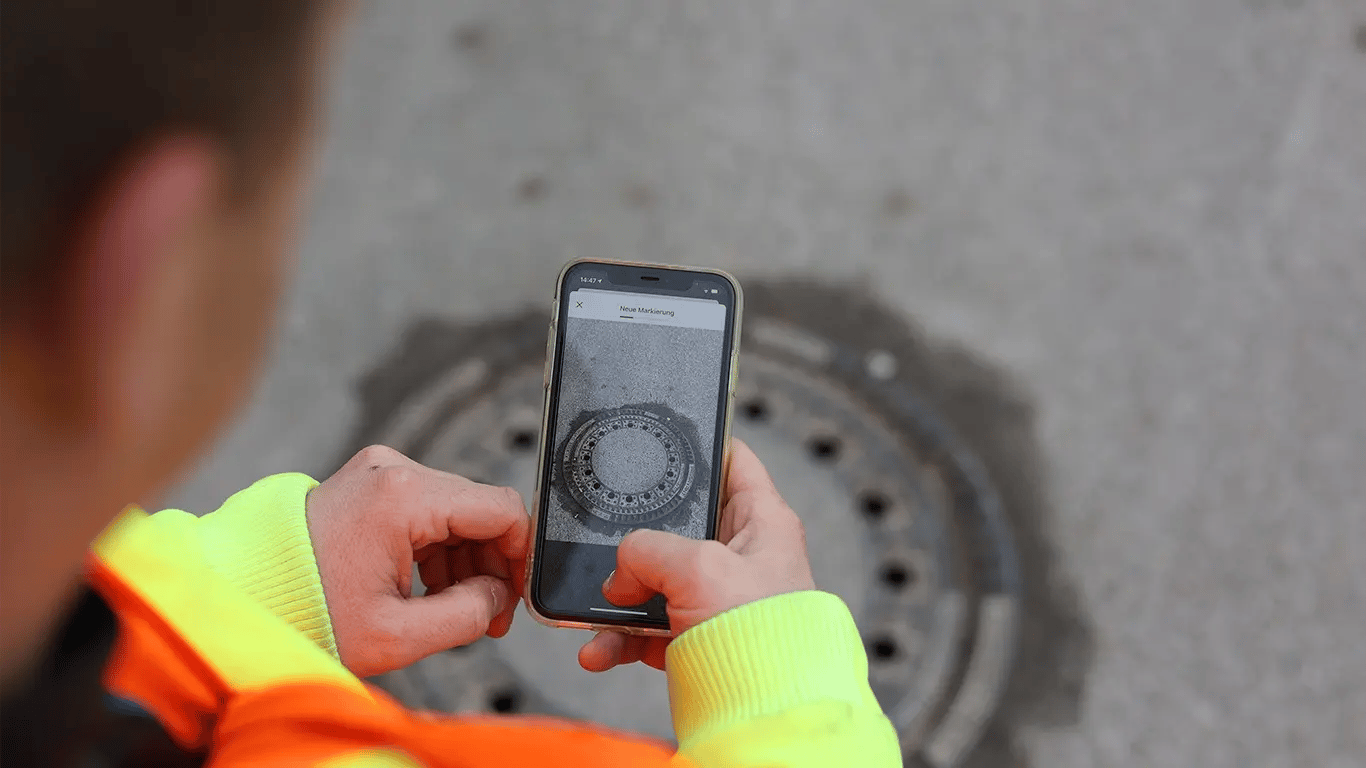
By foot
The vialytics Advantage
Collaboration
Effortlessly create and assign maintenance tasks directly from inspection results, fostering efficient teamwork across departments and ensuring timely resolution of road issues.
Legal Security
All inspections conducted with vialytics are stored in a legally secure web system, ensuring municipalities can demonstrate compliance with safety obligations and protect themselves from liability in case of accidents.
Data-Driven Planning
Streamline road maintenance planning by providing objective, AI-analyzed data to identify and prioritize repairs, enabling municipalities to optimize budgets and extend infrastructure lifespan effectively.
Digitally Assess Your Road Network
Flexible Route Checks at Your Fingertips
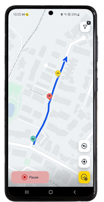
vialytics ToDo empowers you to conduct comprehensive route checks however you prefer - on foot, by car, or on a bike. Whether you're inspecting footpaths, stairways, cycle lanes, or roads, our app ensures all your observations are documented securely and legally.
As soon as you start an inspection, the app automatically records GPS location, time, and direction. Spot an issue? Simply tap a button to create a task, complete with a photo of the problem area and optional notes. You can easily add more details, ensuring thorough documentation of road damage or nearby hazards.
With vialytics ToDo, conducting thorough route checks has never been easier or more efficient.
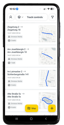
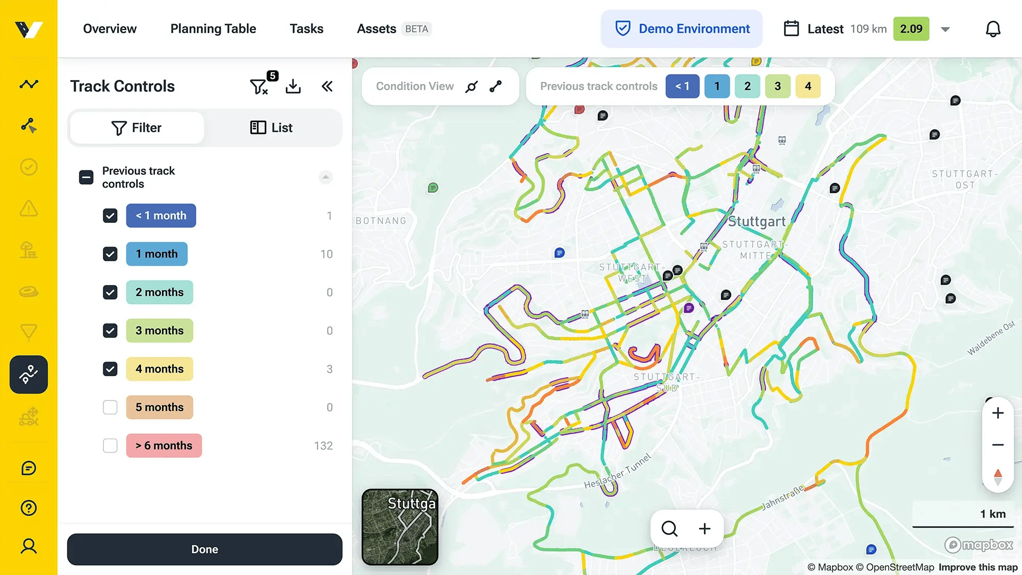
Documentation in the Web System
With vialytics, local authorities can easily demonstrate their commitment to regular, thorough road safety inspections without the hassle of extensive paperwork.
This system doesn't just protect you legally - it also boosts your internal planning capabilities. By documenting damage and defects digitally, you'll streamline your repair process. Your team can quickly address issues and track progress in real-time, ensuring nothing falls through the cracks. It's a smarter, more efficient way to manage your road infrastructure.
More info on Task Management:
More Use-Cases
Discover the countless ways vialytics can help your municipality.
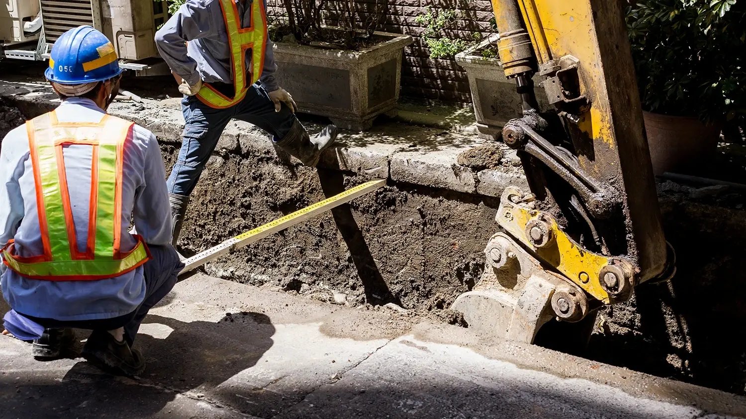
Construction Oversight
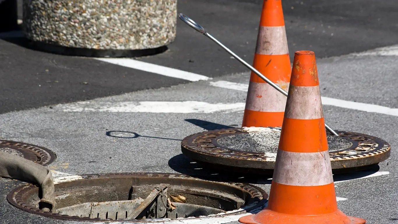
Inventory Management
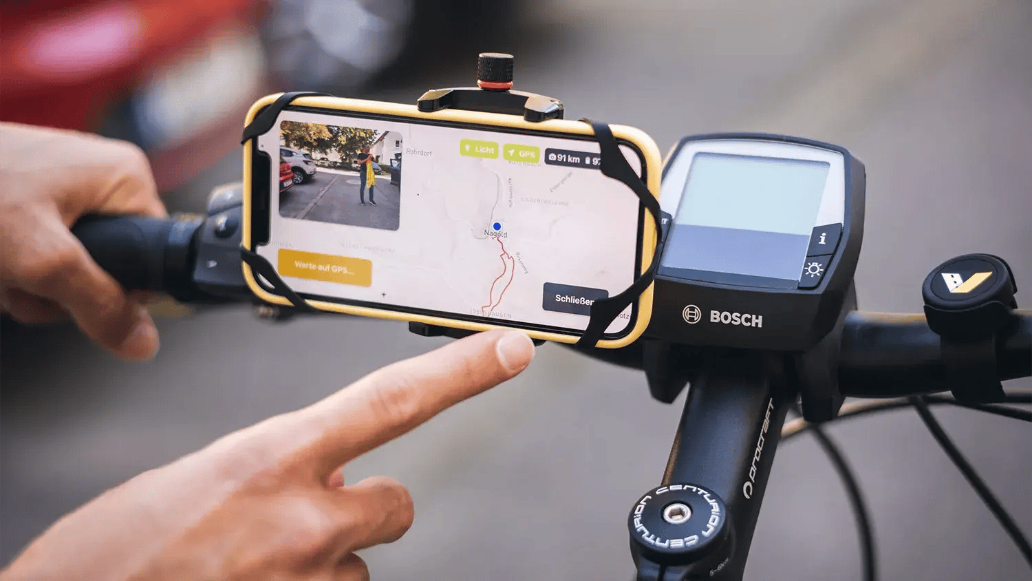
Bike Lane Assessment
Interested in digital Track Control?
Simply talk to our vialytics experts.


