In building yards and public works departments, collecting and maintaining data wastes valuable time and work capacity. Municipalities have to take on more and more tasks while personnel is decreasing. The borough of Metuchen, New Jersey, has found a unique solution to keep its roads safe with less effort by implementing the AI-based Road Management System by German SaaS company vialytics to automate their internal processes.
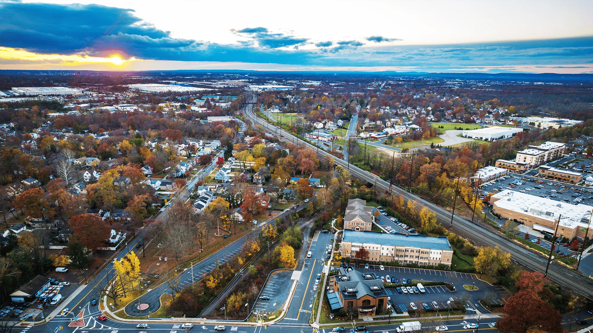
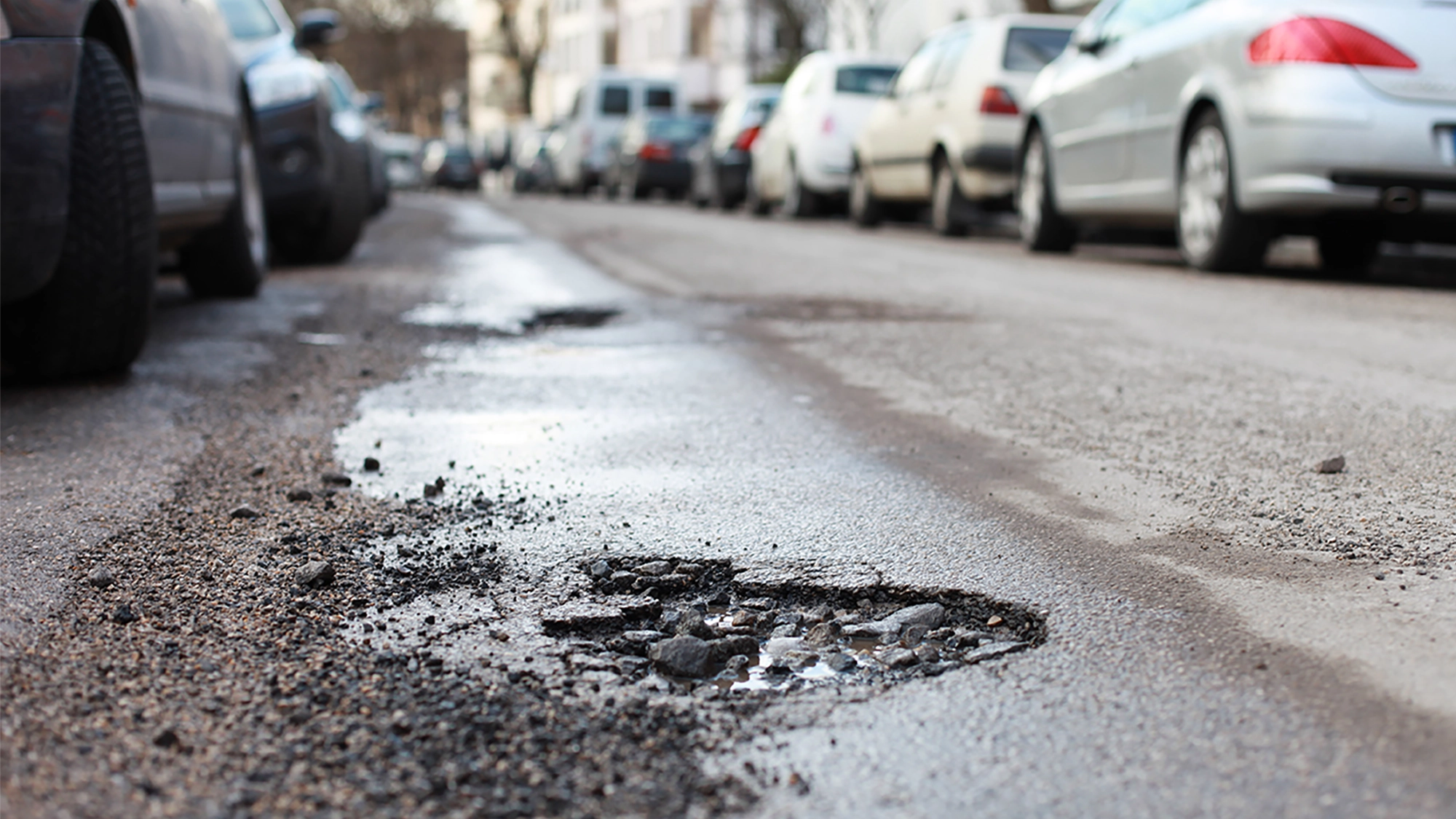
“vialytics has been a real game changer,” explains Melissa Perilstein, Borough Administrator of Metuchen. The suburban borough in Middlesex County, with 25 miles of road network, implemented the vialytics system this June to improve infrastructure and maintenance management. According to Melissa Perilstein, one of their main challenges in the past was ensuring a proper methodology for categorizing their roadway conditions. “We were looking to take the somewhat subjective component out of the mix and to keep the data up to date. Most of it was based on a compilation of resident complaints, engineering, and DPW evaluations. There was no systematic process.” Keeping up with budgets and regulations while implementing measures can be overwhelming. Many cities and towns struggle with outdated, manual recording of road conditions, often still done with pen and paper. Time-consuming and subjective evaluation of this data hinders the ability to take quick measures where needed.
All processes in one system
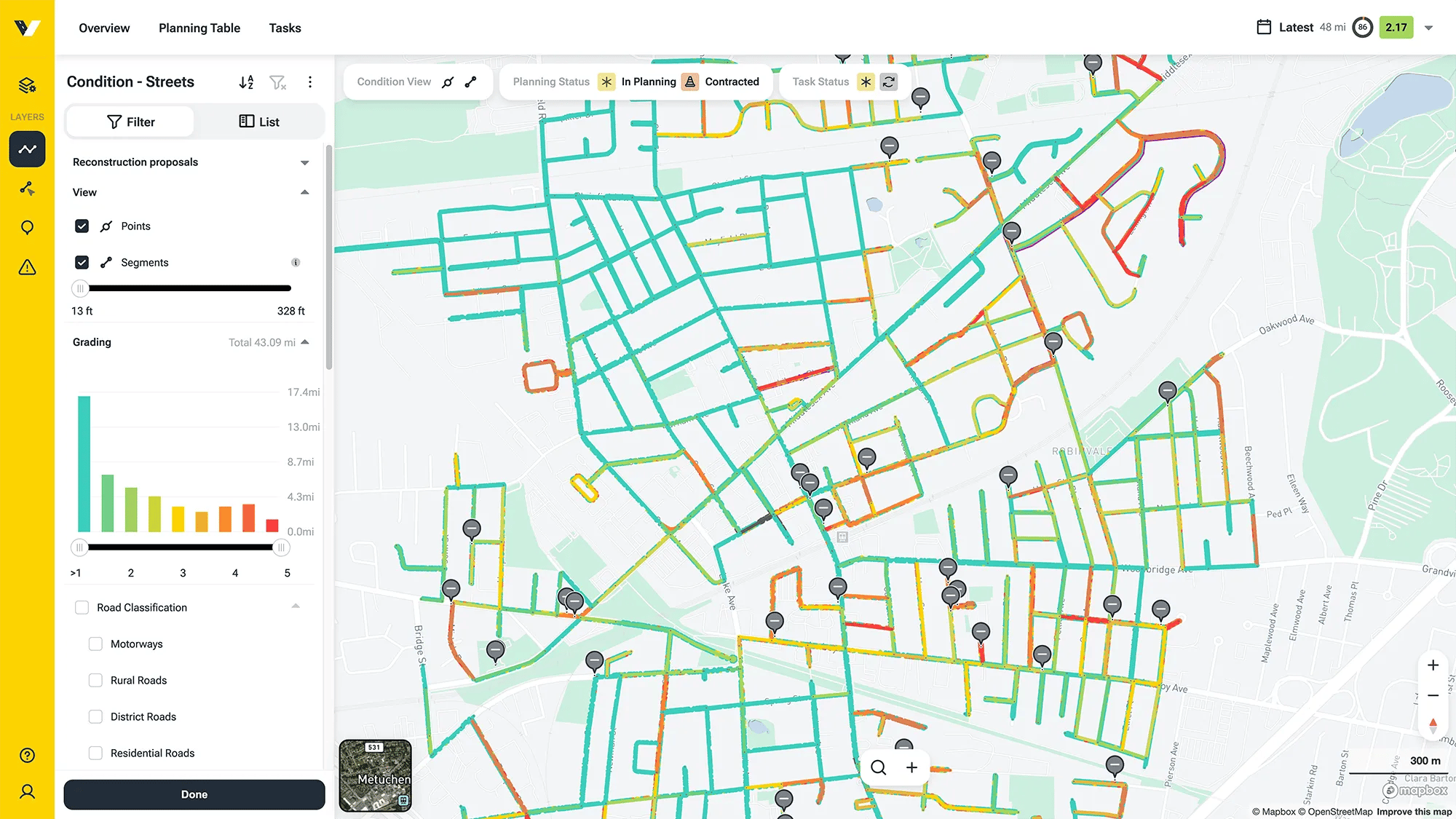
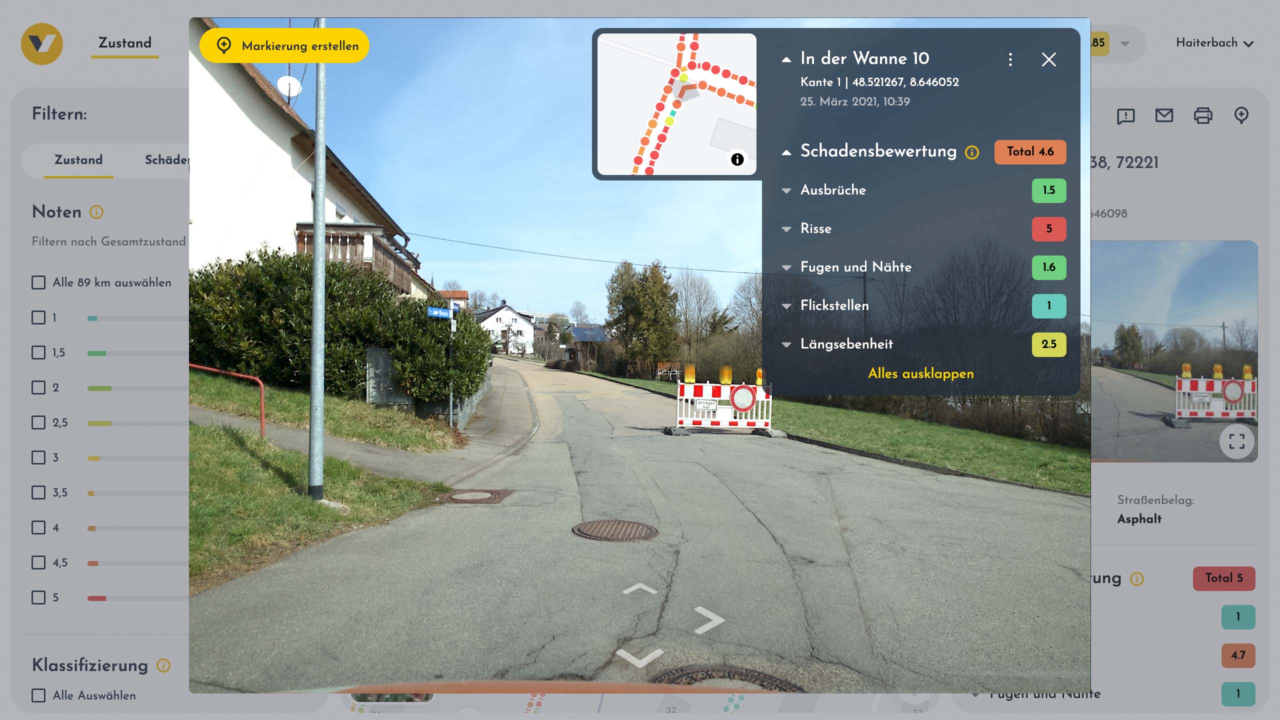
With the vialytics system, data collection, maintenance, and planning go hand-in-hand in one system. The condition data is recorded via a smartphone mounted on the windshield of any municipal vehicle. While driving along the roads, the system takes a geo-referenced image every 13 feet. The integrated Artificial Intelligence automatically detects damages on the road surface in 15 different categories. In addition, dangerous locations or tasks can be documented manually at any time at the touch of a button, including photos and time stamps. The route control is documented in a legally secure manner via GPS, showing the exact location of any recorded data, replacing conventional roadside inspections with pen and paper.
All data is viewable in the web system and accessible via a secure web browser. Every picture taken and every task created can be viewed seamlessly without having to be on-site. In the map mode, road damage and marked spots can be displayed in detail and transferred to a planning section to organize long-term maintenance measures or quick repairs. This list can include everything from full-scale road construction and hydraulic engineering to road surface repairs.
Real-time data for better planning
With over 300 municipalities in 7 countries using the system, including small towns and big cities like Prague, the challenges concerning roads and road safety are vast and diverse. vialytics CEO and co-founder Patrick Glaser stresses: "Our unique selling point is the combination of high-precision AI technology and enabling our partner municipalities to get an overview of their road conditions at any time." He is confident that no matter the circumstances, any municipality can improve its road safety and maintain its infrastructure management at a higher level.
Due to its flexibility, the vialytics system allows municipalities to adapt the collected data to their needs. Metuchen, for example, plans to use the image documentation tool for tree maintenance and snow removal documentation. Melissa Perilsteins concludes: “Using the vialytics technology has revolutionized our processes! We have real-time data on our roadways in one place where we can identify future tasks for the upcoming budget cycles.”
Share this
Road damage after winter season: 3 effective measures for cities and municipalities
How vialytics Solves Your Pothole Problem