
Modern Infrastructure Management,
Systematically Done

The vialytics System automatically captures road damage, traffic signs, and lane markings via smartphone β€” helping your municipality plan, prioritize, and document measures based on data.
 
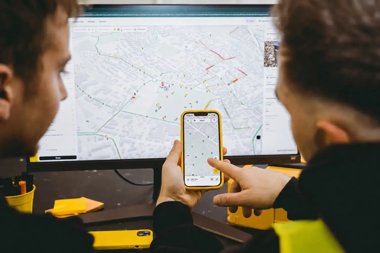
Two public works employees using the vialytics on their smartphone in front of a computer.
Data-Driven Decisions

How the System Works

Three simple steps, from capture to planning.
1. Capture

Capture your network

Drive your routes as you normally would. Mount your smartphone, start the vialytics app, and AI automatically captures road conditions, street imagery, and roadway assets as you drive.
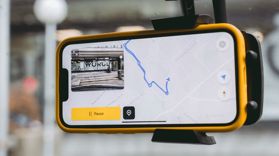
Smartphone running the vialytics app mounted on a vehicle windshield
2. Organize

All your data in one place

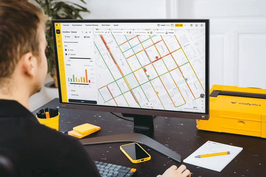
Road condition data, imagery, and roadway assets are automatically organized in the vialytics platform. AI detects pavement distress, assigns severity ratings, and maps every issue.

Employee at a desk reviewing a road network map in the vialytics web system
3. Act

Plan with confidence

Use objective road condition data to prioritize repairs, create maintenance plans, and make informed budgeting decisions. Track progress over time and make every maintenance dollar count.

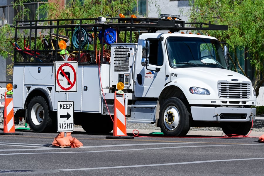
A US municipal utility truck

Built for Every Road Management Team

One system. Endless possibilities.

Whether you manage city streets, county roads, or support agencies as an engineering consultant, vialytics gives you the tools to collect data, plan maintenance, and manage infrastructure in one platform.

Road Condition Assessments Made Easy

Drive your routes as you normally would. AI automatically captures pavement distress, inventories roadway assets, and maps every observation, providing objective road condition data without dedicated inspections.

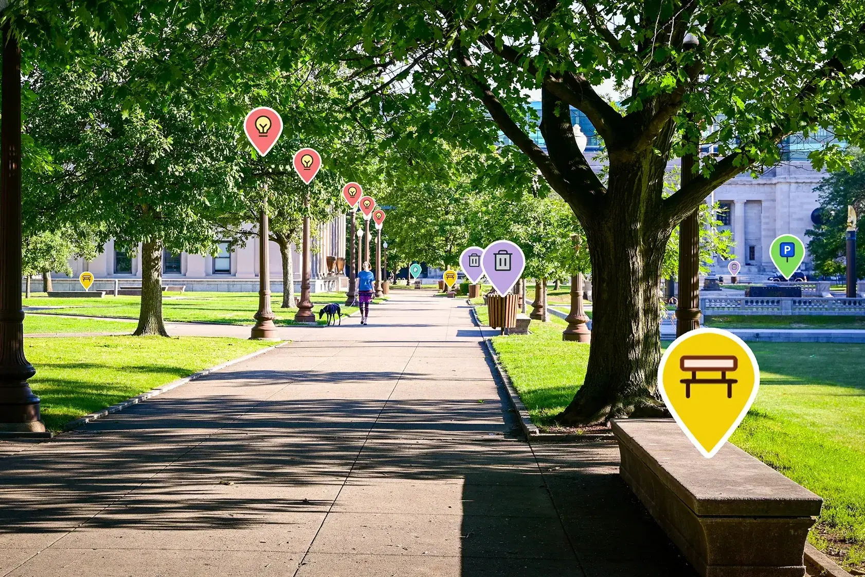
Tree-lined park path with vialytics icons highlighting benches, trash cans and street lamps

Asset Inventory & Management

Build and maintain a complete, up-to-date inventory of your roadway assets. Automatically map traffic signs, manholes, storm drains, and more, all in one centralized platform for easier planning and maintenance.

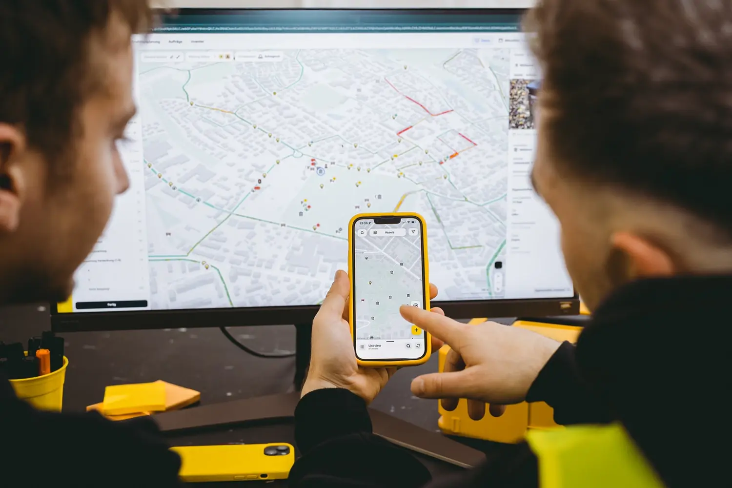
Two colleagues reviewing road network data on a smartphone and monitor in the vialytics system

Track Conditions Over Time

Monitor how your road network changes with every assessment. Identify deteriorating streets, spot long-term trends, and prioritize maintenance before small issues become costly repairs.

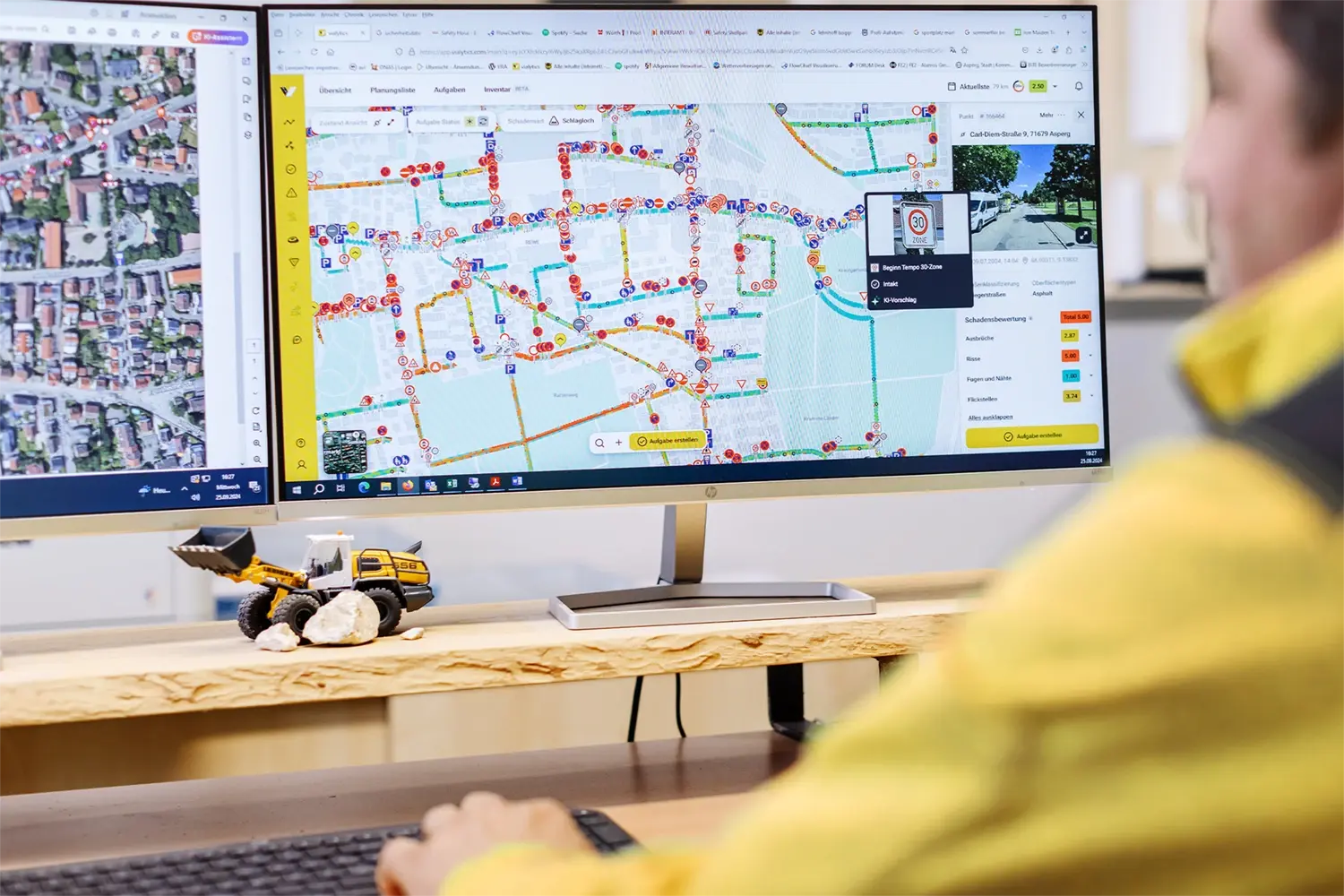
A municipal employee operating the vialytics web system

From Assessment to Action

Replace outdated inspections and guesswork with objective road condition data. Prioritize repairs, create work orders, and allocate your budget based on real infrastructure needs.


Still a Better Roads Customer?

vialytics helps municipalities transition from Better Roads with a smooth migration process and dedicated onboarding support.
 
Talk to Sales
 
Designed for Public Works

Capture in the Field. Manage in One Platform

The vialytics mobile app and web platform work seamlessly together, giving you everything you need, from data collection to maintenance planning, all in one connected system.

Design ohne Titel (5)
The vialytics Mobile App

Capture road data anywhere

Collect road condition data while driving your normal routes. Simply mount your smartphone, open the vialytics app, and drive. AI automatically captures pavement conditions, roadway assets, and imagery in the background. Even when you're offline, your data syncs automatically once you're back online.

  • Available in iOS and Android
  • Offline data collection
  • Automatic cloud synchronization
  • No special equipment or setup required
Screenshot of the vialytics web system dashboard showing a road network map
The vialytics Web System

Your road management command center

The vialytics web platform brings all your road condition data, imagery, and asset information into one place. Review AI-powered assessments, prioritize maintenance, create work orders, and track progress across your entire road network. Collaborate with your team using one centralized platform.

  • Centralized road condition and asset data
  • Prioritization by severity, cost, and location
  • Work order management
  • Historical data for trend analysis

Why Public Works Teams Choose vialytics

One Connected Workflow

Collect data in the field, review it in the web platform, create work orders, and track progress without switching between systems. Everything stays connected from data collection through maintenance planning.

Built for the Real World

Capture data online or offline using a compatible smartphone. Your data syncs automatically when you're connected again, so your team can keep working anywhere.

Everything in One Platform

Road condition assessments, asset inventory, maintenance planning, and work orders all work together to help your team make smarter decisions.

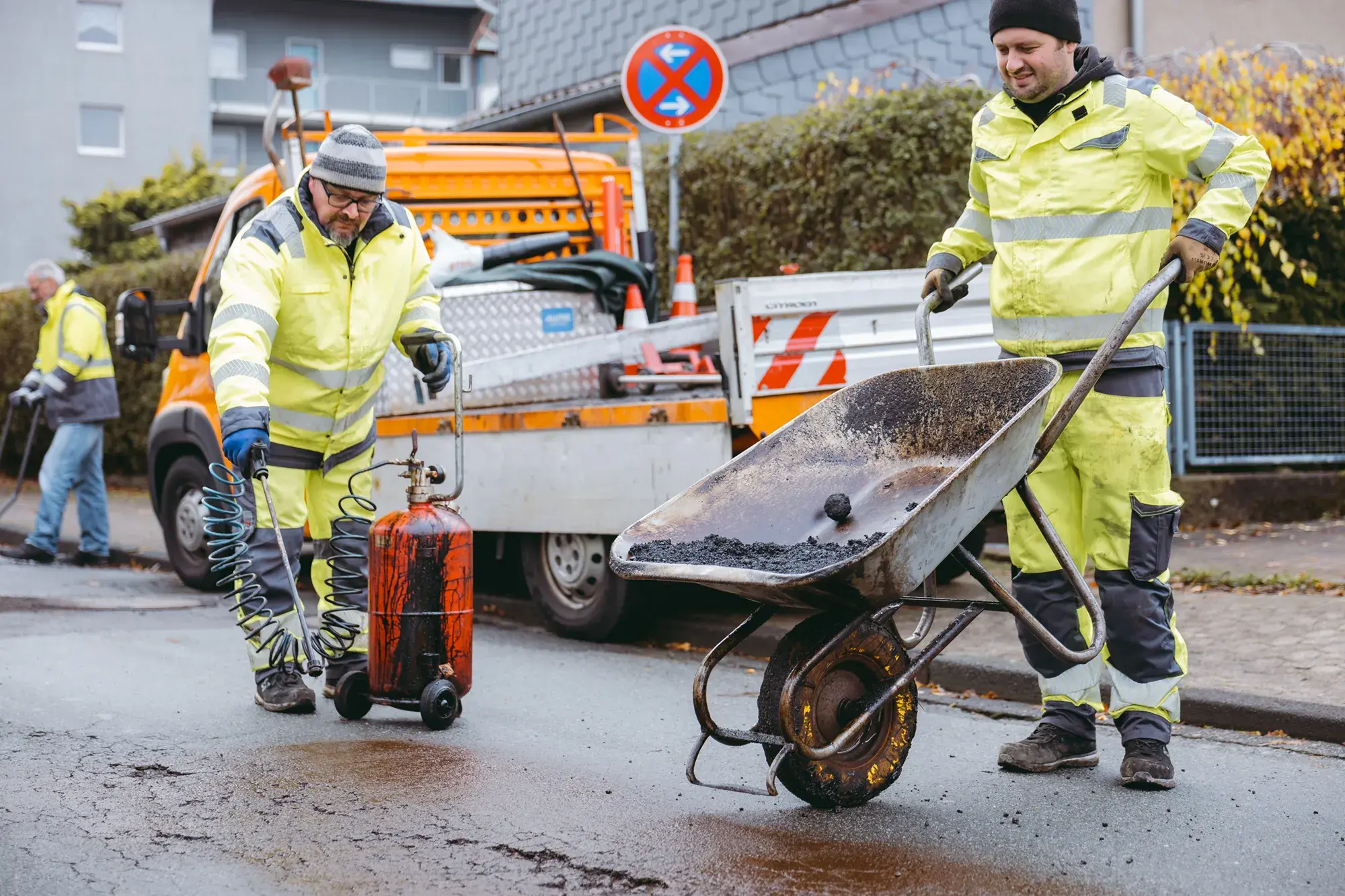
Construction workers repairing a pothole on a road

How Your Agency Benefits

Data-Driven Decisions

Make informed maintenance decisions with objective road condition data. Prioritize projects, allocate budgets effectively, and invest where it will have the greatest impact.

Save Time and Resources

Reduce time spent on inspections, documentation, and manual data collection. Free up staff to focus on higher-value work.

Built for the Future

Stay ahead with a platform that continuously evolves to meet changing infrastructure needs and supports your team as your road network grows.

Reporting & Documentation

Keep a complete record of road conditions, maintenance activities, and completed work. Easily support reporting, budgeting, and long-term planning.

Explore Additional Applications

Ready to rethink your infrastructure?

See for yourself how vialytics transforms your everyday work. Book a no-obligation demo.