Multi-use Images
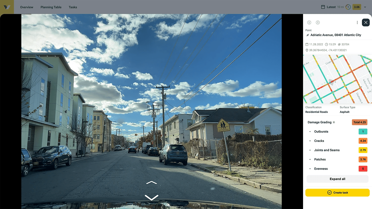
Condition surveys with the vialytics system automatically provide a large number of images at the disposal of your municiaplity.
These images can be used for a variety of different tasks across town departments, from reporting downed powerlines to assigning a team member to go check on a citizen complaint.
Capture images automatically
Go about your daily business knowing vialytics has you covered.
Use images of caputured during regular condition assesments to create your own tasks and assign team members to tackle geo-referenced images of specific damages.
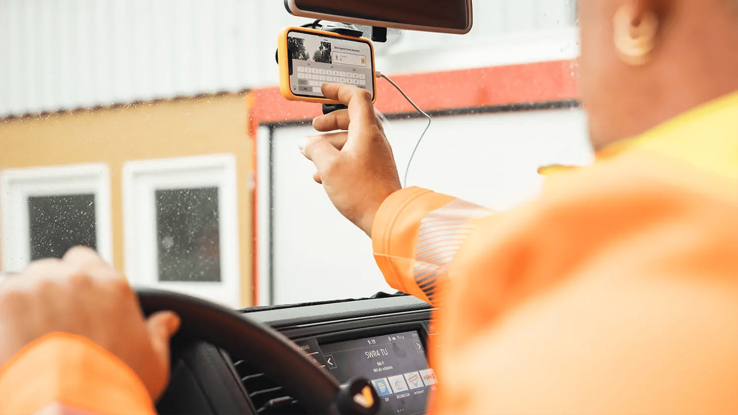
By car
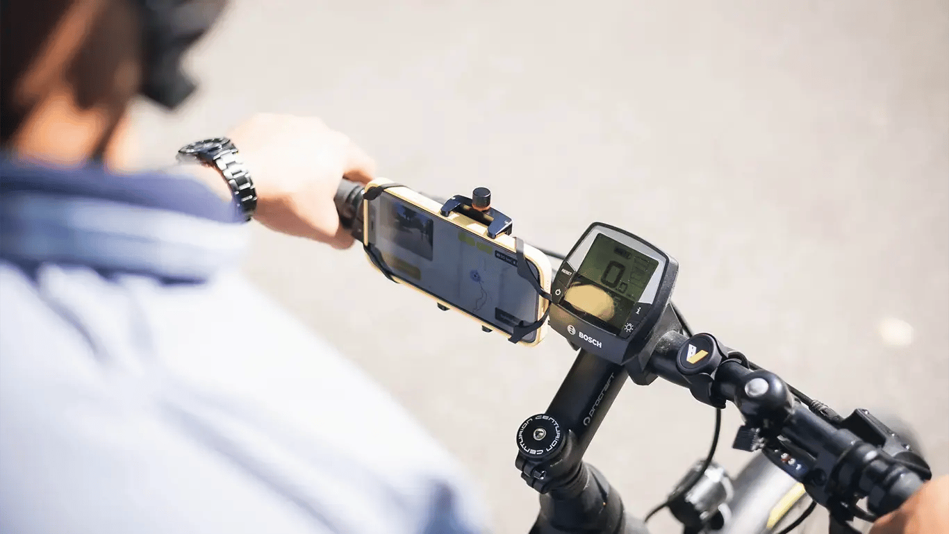
By bike
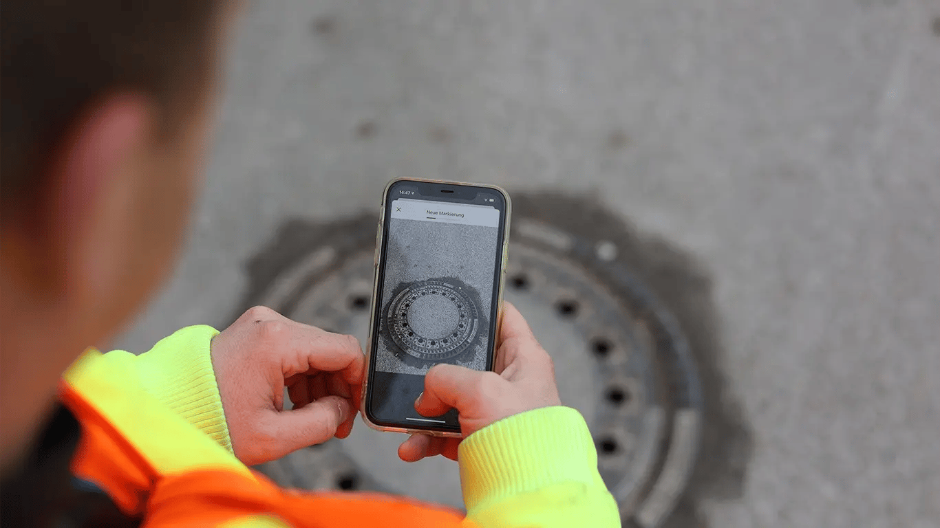
By foot
Up-to-date Images Support Your Daily Workflow
Citizen Concerns
Current photos let you address citizen concerns right from your desk. No more timely trips into the field for every little issue!
Web System
All images are integrated into your personal town map. Think: a supercharged Google street view with task capabilities and more.
Documentation
Showcase before and afters of repaired roads and assets after your team has tackled them! Search your archive for photos at any timestamp.
Before and Afters
Showcase your hard work internally and externally with before and afters captured with the vialytics system. In case of insurance claims, we've got you. Search your archive for timestamped images at any point in time.
.webp?width=4809&height=2706&name=app.vialytics.com_main_marker_q=eyJsYXllcklkcyI6WyJjb25kaXRpb24iLCJyZWZlcmVuY2luZy1mbGFnIiwibm90ZSIsInBsYW4iLCJtYXJrZXIiLCJhbGVydCIsInRhc2siXSwicGxhbiI6eyJzb3J0Ijp7fSwiZmlsdGVyIjp7InByaW9yaXR5IjpbXSwiY2F0ZWdvcnkiOltdLCJzdGF0dXMiOlsxLDNd%20(1).webp)
Cross-departmental Collaboration
Collaborate with others using the vialytics system, like your Parks & Rec Department or Transportation Committee. The data captured with vialytics is valuable far beyond its Public Works' applications. You decide who gets access to your info.
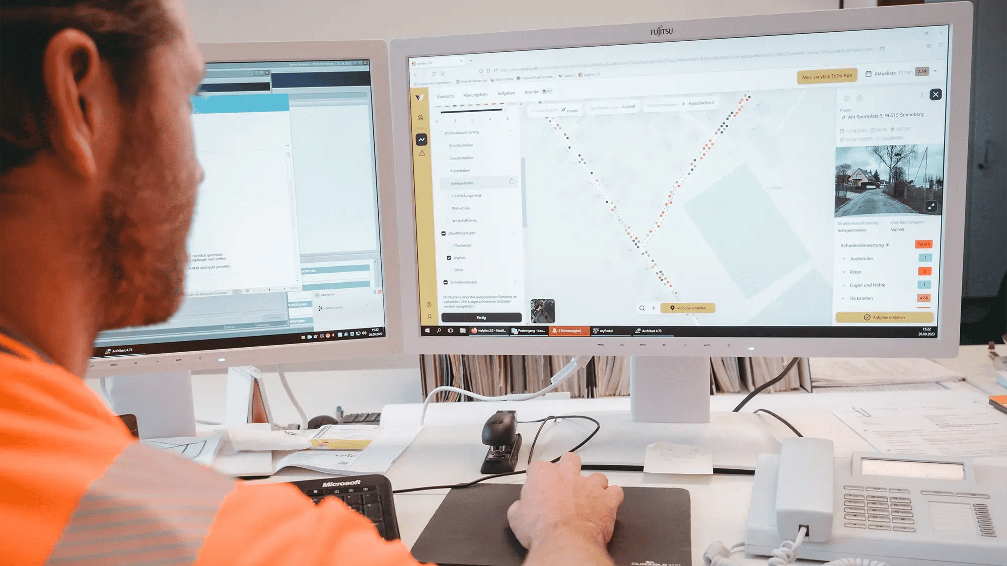
Be in the Field, From Your Desk
Your time is valuable. Save yourself the hassle of having to drive into the community to handle every little request. With up-date-images uploaded automatically into your web system, you can now get a birds-eye view of issues from your desk. Hallelujah!
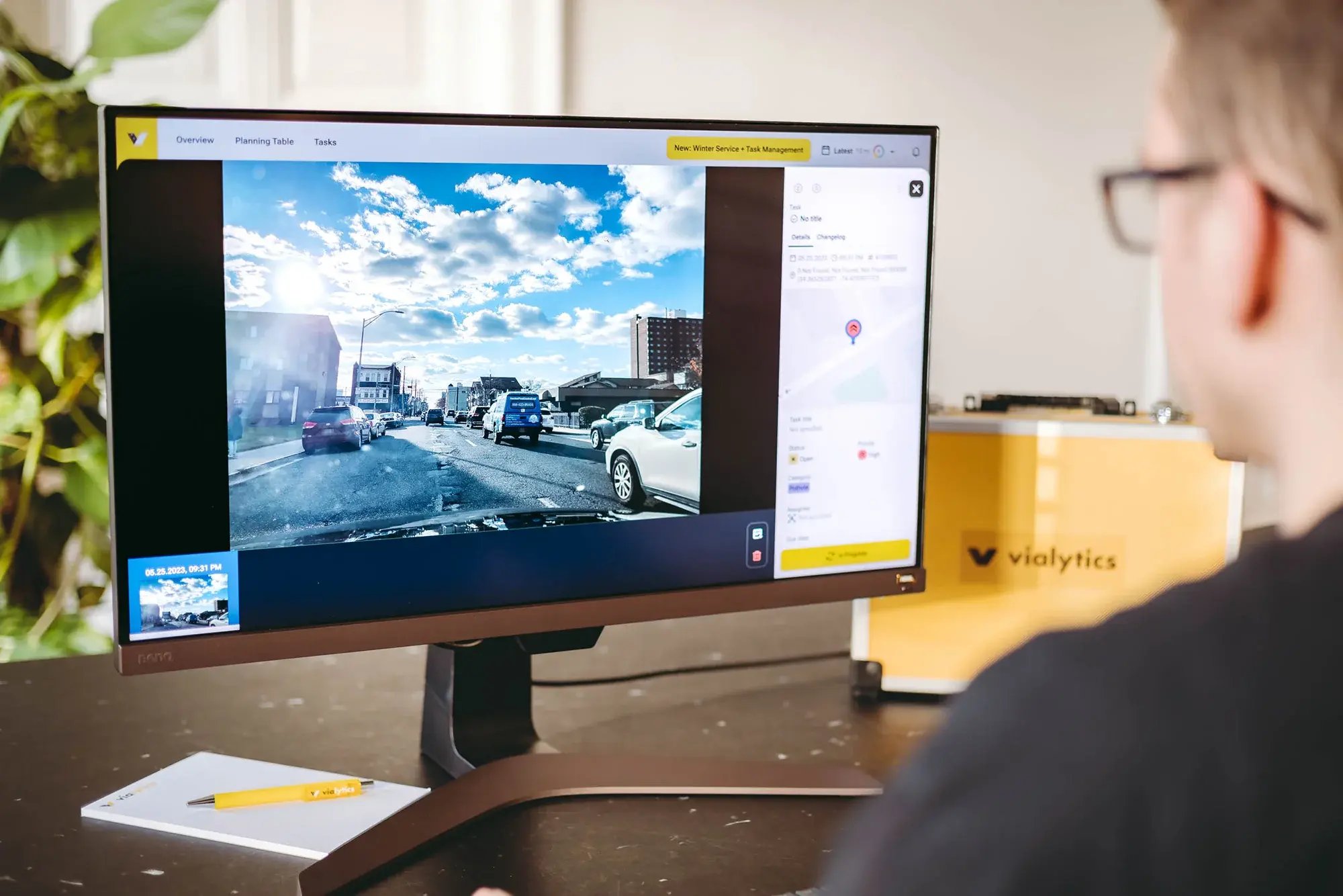
More than just Roads
In addition to recording road damage, vialytics also provides documents other assets in your town. Traffic signs, manhole covers, storm drains and more can be recorded and monitored via image data for documentation, maintenance, and task assignment purposes in the web system.
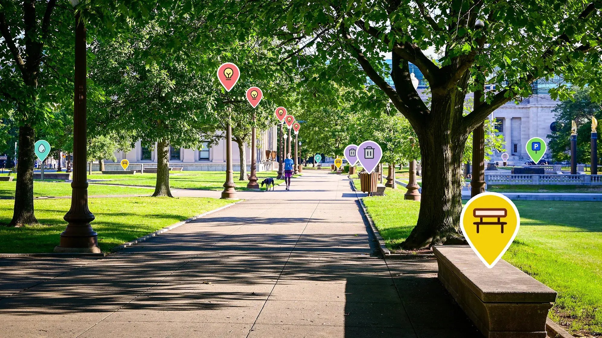
More Use Cases
Discover the countless ways vialytics can help you and your municipality.
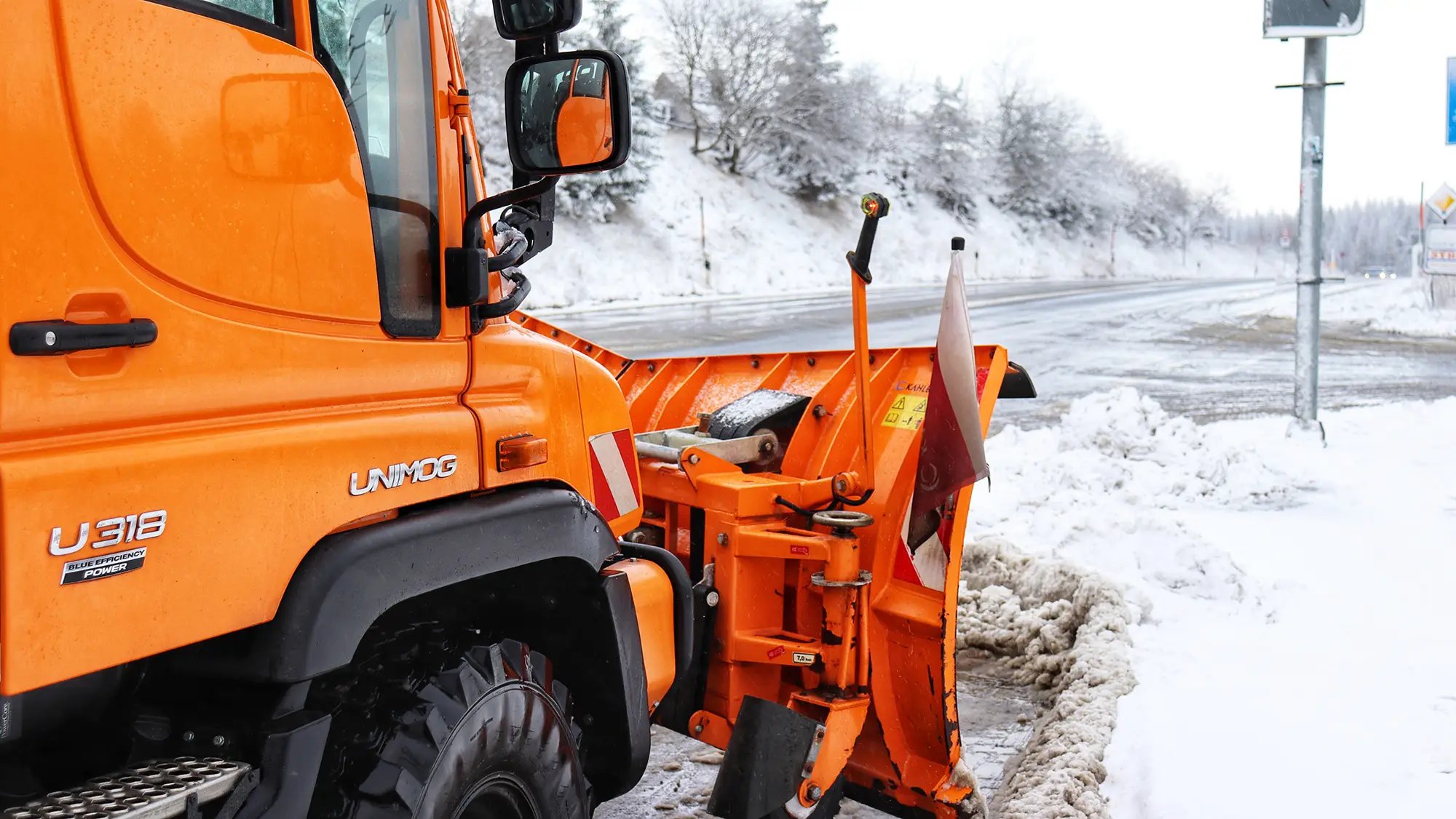
Safely through the winter
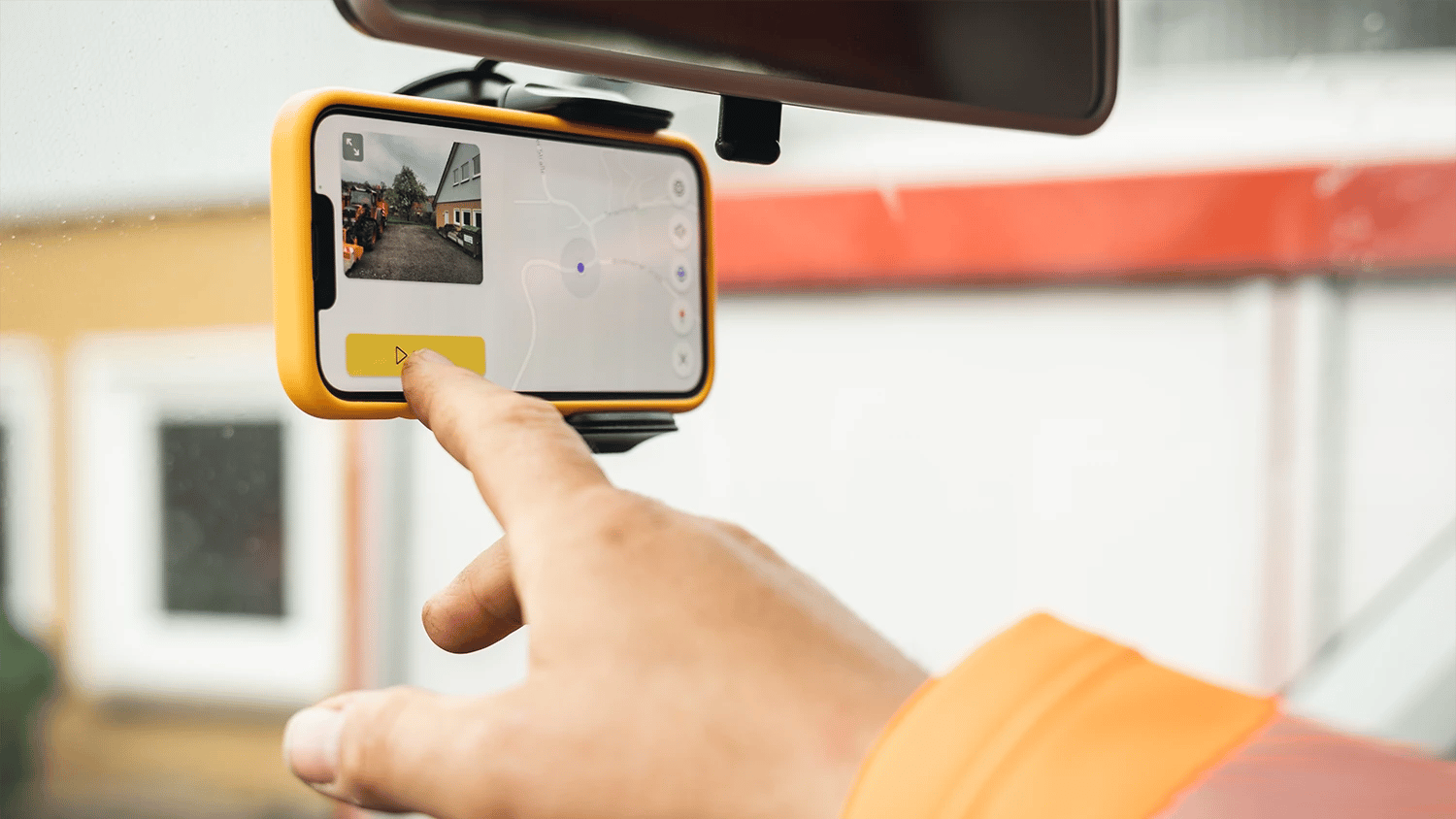
Image documentation
.jpg?width=2000&height=1125&name=CK3A1265-web-16-9%20(1).jpg)
Assess your bike lanes
Interested in Image Documentation of your Road Condition?
Our experts at vialytics are here for you.


