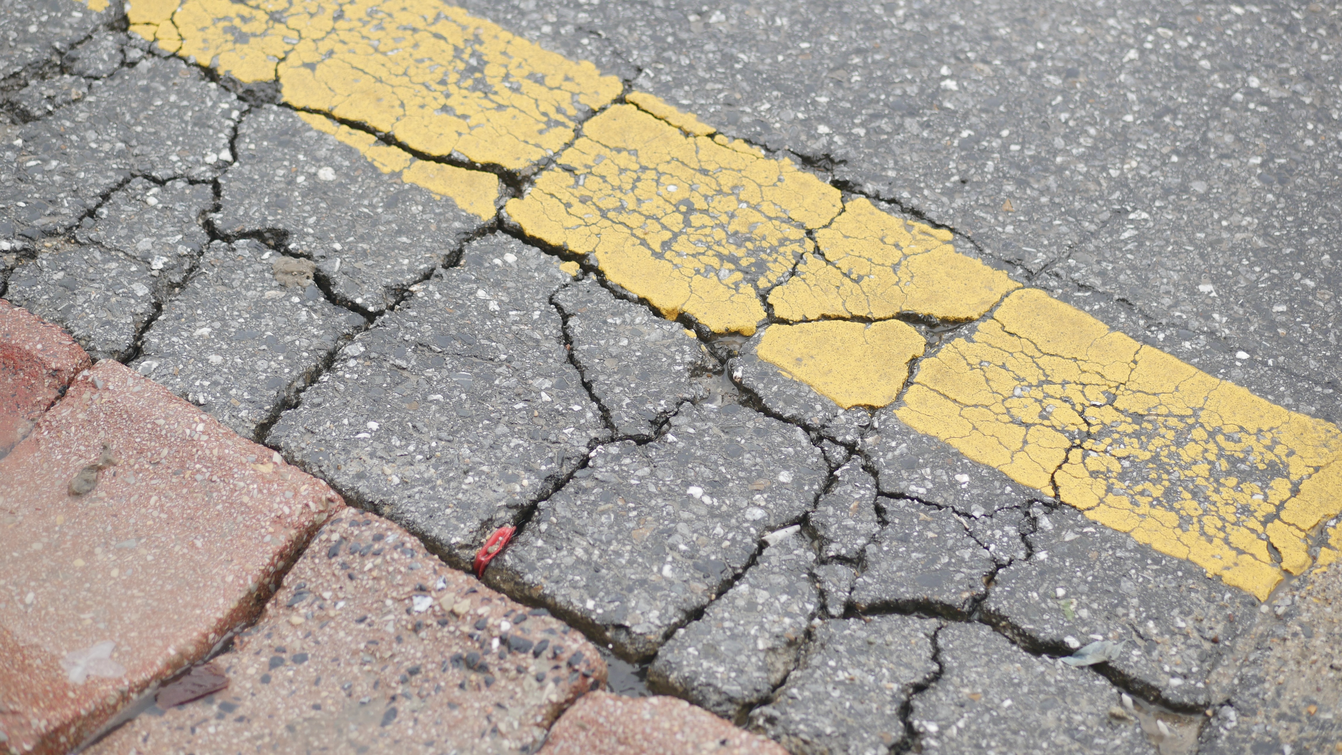



Municipalities are responsible for maintaining miles of roadway infrastructure while balancing limited budgets, aging assets, resident concerns, and competing capital priorities. But for many communities, deciding where to invest first still relies heavily on manual inspections, spreadsheets, and reactive maintenance.
During the recent “Smarter Roads: AI and GIS for Pavement and Infrastructure Management” informational webinar, experts from Colliers Engineering & Design and vialytics explored how mobile AI technology and GIS can help municipalities collect more consistent infrastructure data, better understand pavement conditions, and turn that information into actionable plans.
The session also featured Brick Township, New Jersey Municipal Engineer Alyssa Cummins, who shared how her team has moved from a largely complaint-driven roadway evaluation process toward a more objective and proactive approach to pavement management.
Moving Beyond Reactive Pavement Planning
Before adopting vialytics, Brick Township’s pavement planning process was largely reactive. Resident complaints were collected throughout the year, and engineers and inspectors would then spend significant time evaluating and ranking roads to build the township’s paving list.
The challenge was that the process could be subjective. Roads receiving the most complaints were not always the roads in the worst condition, while deteriorated roads could go unnoticed simply because no one had reported them.
Brick Township now collects roadway imagery using equipment mounted on its recycling trucks. As the trucks travel their regular routes, images are captured and analyzed consistently across the township’s road network. This gives staff an objective view of pavement conditions while reducing the amount of time spent manually evaluating every roadway.
The data also gives the township a clearer way to communicate priorities. Instead of relying only on visual judgment, staff can reference condition ratings and roadway imagery when explaining why certain streets are being addressed before others.

Turning Road Data Into Action
Brick Township has expanded its use of the platform beyond developing its paving list. Staff can track proposed treatments and project status, helping engineering, public works, and administrators see which roads are recommended for funding, scheduled for work, or better suited for routine maintenance.
The same information can support day-to-day operations. When maintenance crews are already responding to a pothole or other issue, staff can review nearby needs and address multiple problems in the same area. Historical roadway imagery can also help staff respond to resident questions without always needing to visit the location in person.
What started as a pavement condition assessment has become a broader tool for managing infrastructure and making day-to-day decisions more efficiently.
Connecting AI With GIS
The webinar also highlighted the value of connecting pavement data with a municipality’s existing GIS environment. Colliers Engineering & Design discussed how roadway condition information can be combined with data on water, sewer, stormwater, traffic, zoning, and other infrastructure assets. This gives municipalities a more complete picture when planning capital projects.
For example, a road may need resurfacing, but if underground utilities are also approaching replacement, coordinating the work could prevent a newly paved roadway from being excavated shortly afterward.
The same data can also support traffic studies, stormwater planning, multimodal improvements, and longer-term land use decisions. Instead of treating pavement information as a single-purpose dataset, municipalities can use it across departments and planning efforts.

Better Data, Better Decisions
AI and GIS do not replace engineering judgment. They give municipal teams better information to work with.
Brick Township’s experience shows how consistent roadway data can help communities move away from reactive, complaint-driven planning and toward a more proactive approach. By combining AI-powered assessments, GIS, and local expertise, municipalities can prioritize investments more clearly, communicate decisions more effectively, and get greater value from limited infrastructure budgets.
Ultimately, smarter road management is not about collecting more data. It is about using that data to make better decisions about where to invest next.
About Colliers Engineering & Design
Colliers Engineering & Design has been serving public, municipal, and private clients throughout the U.S. for more than 40 years. Today, the firm delivers a comprehensive range of multidisciplinary engineering, architecture, consulting, and design services nationwide. Its divisions include Buildings, Civil/Site, Geo-Environmental, Governmental, Infrastructure, Project/Program Management, Survey/Geospatial, and Telecom/Utilities.
This integrated, collaborative approach brings professionals together under one roof, enabling clients to access the expertise and resources needed to deliver lasting impact and accelerate success for their organizations and communities. Learn more at www.colliersengineering.com or join us on LinkedIn, Facebook, Instagram, and X!
About vialytics
vialytics provides AI-powered pavement condition assessments that streamline road evaluations, improve operational efficiency, and support long-term infrastructure planning for public works agencies. Using a smartphone-based data collection approach, vialytics helps municipalities capture current roadway conditions and translate them into actionable insights to prioritize maintenance and communicate infrastructure needs with confidence.
Learn more at www.vialytics.com or follow us on LinkedIn.
Share this
vialytics Spotlight: Infrastructure Perspectives with Colliers Engineering & Design

The Case for AI-Powered Infrastructure Management